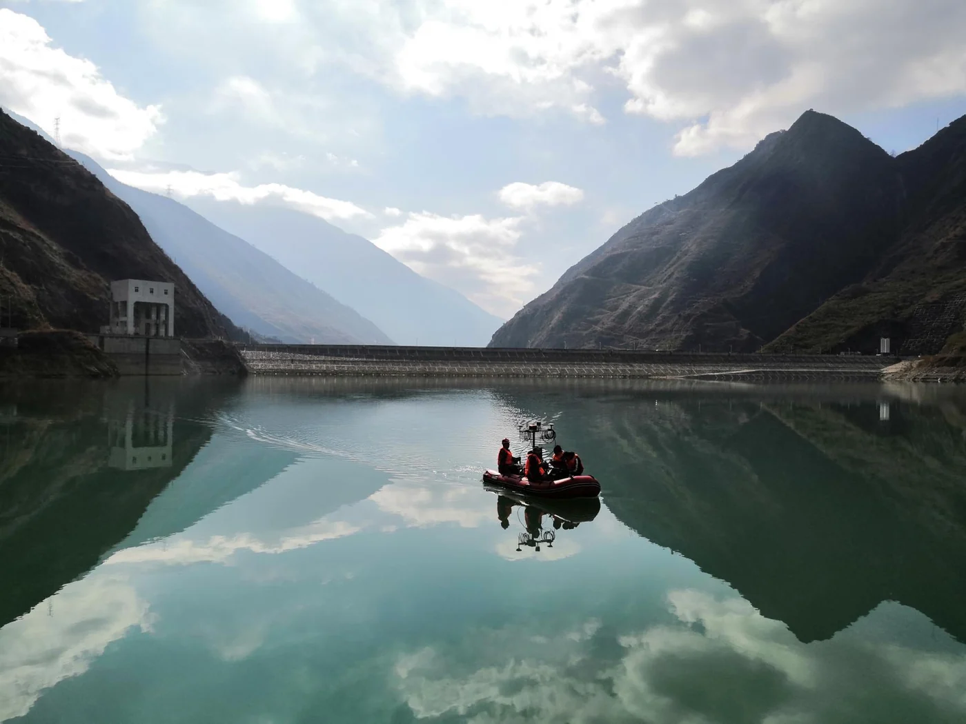
Reservoirs & inland waters
Consider platform space, antenna visibility and operating conditions.
See field experienceAPPLICATION / HYDROGRAPHIC SURVEYING
Connect vessel position and orientation to your survey workflow, from inland waters to marine environments.
Discuss your survey setupFIELD PHOTOGRAPH / RESERVOIR SURVEYTHE ROLE OF NAVIGATION
Position and orientation data are inputs to a larger survey system. Navigation integration needs to be assessed alongside the sonar, acquisition software, sensor geometry and operating conditions.
Illustrative system relationship. RAYSEN provides navigation systems and related integration support; a complete survey solution also depends on your other equipment.
WORKING ENVIRONMENTS
Consider platform space, antenna visibility and operating conditions.
See field experience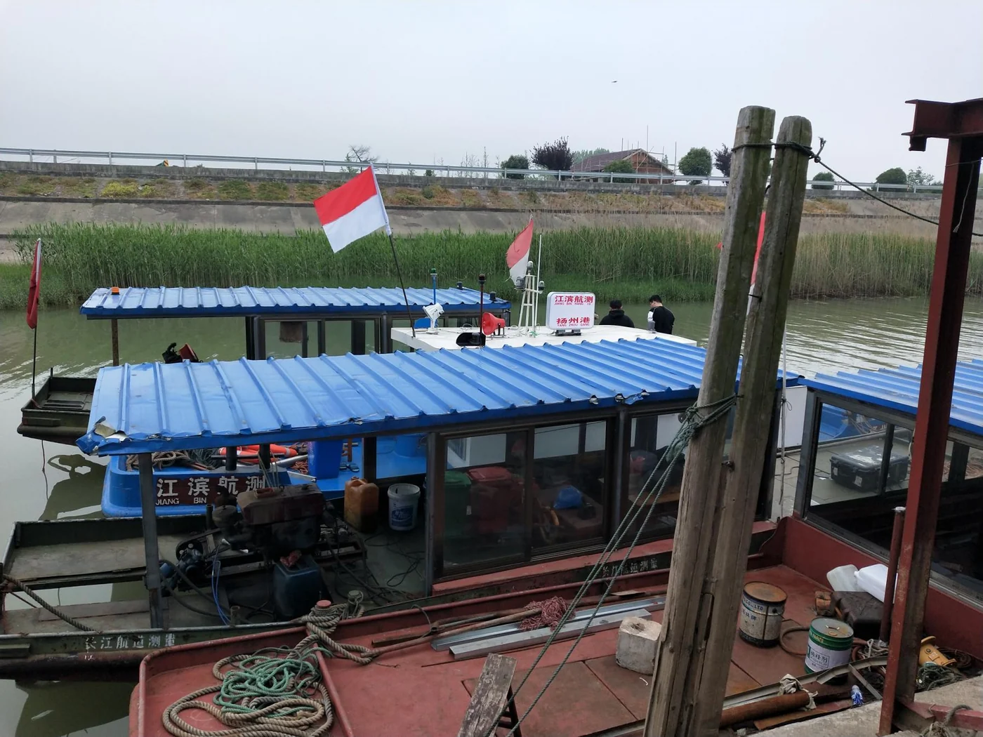
Review the vessel layout and connections to the survey equipment.
See field experience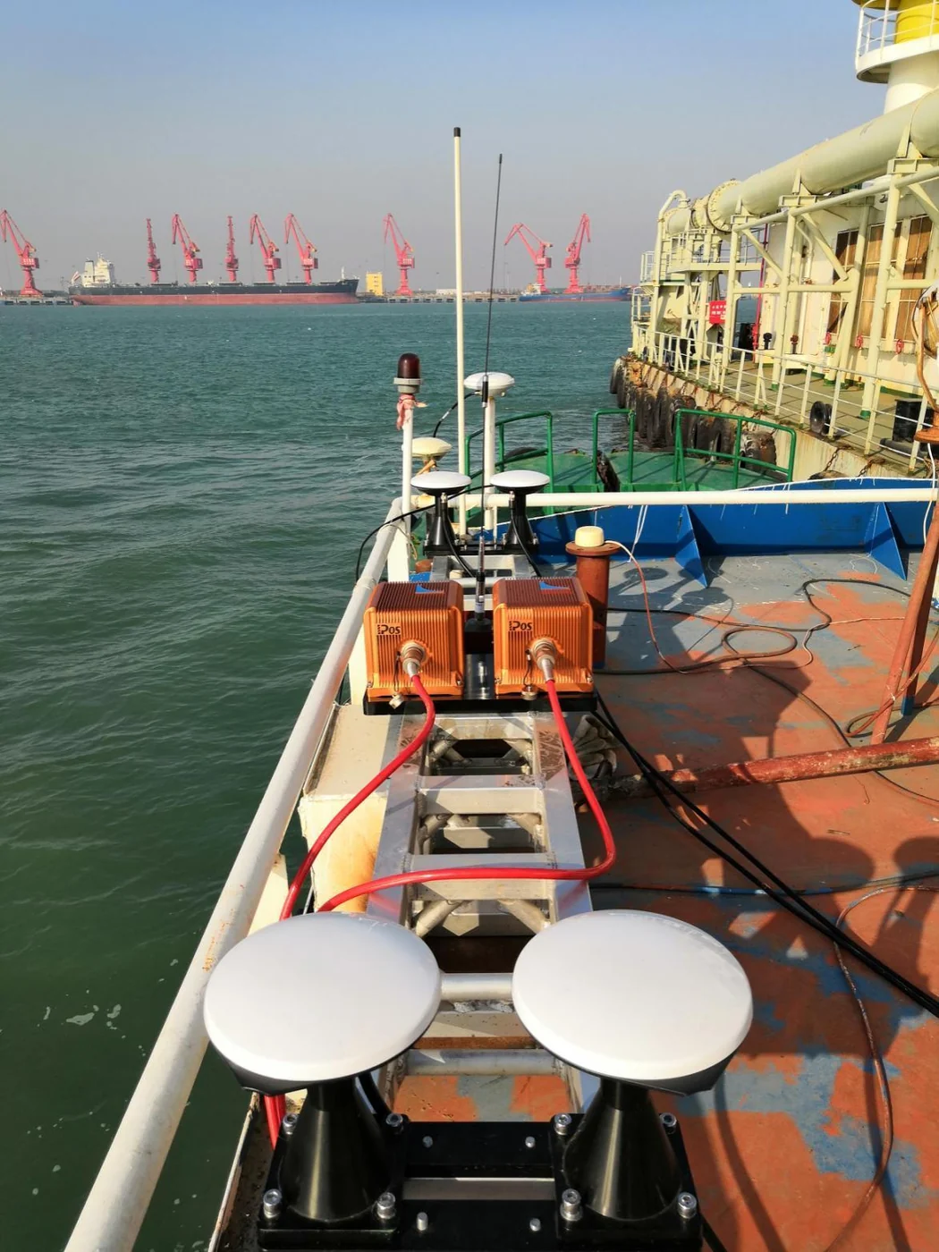
Discuss the onboard environment, mounting and support arrangements.
See field experiencePREPARE YOUR INTEGRATION
You don’t need a complete specification to start. These details help make the first conversation useful.
Vessel or platform, survey environment and project stage.
Needed position, roll, pitch and heading performance, including operating conditions.
Satellite visibility, antenna layout, mounting locations and installation space.
Equipment and software models, outputs, interfaces and time synchronization.
A deck unit, IMU and two GNSS antennas, with model selection based on your requirements.
View the product familyBring your interface, space or output constraints for an engineering assessment.
Explore custom engineering