FIND YOUR STARTING POINT
A product. A platform. A possibility.
Start with a proven system architecture, or bring us a requirement that needs a closer look.
Find your navigation system.
Explore iPos MS for marine positioning, orientation and survey integration.
Explore the product02 / ENGINEERING COLLABORATIONBuild around your requirements.
Discuss interfaces, installation constraints and application-specific development.
Discuss custom engineering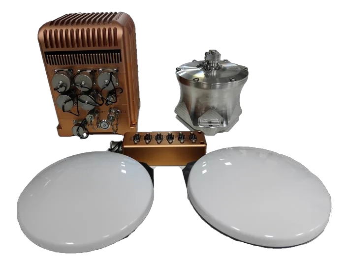
MARINE POSITIONING & ORIENTATION
One system.
A connected view
of your vessel.
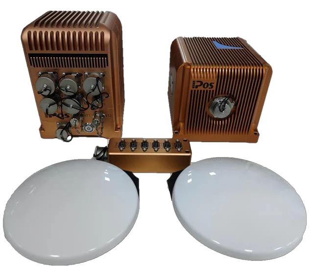
Bring inertial measurements and GNSS observations together for position, attitude and heading information in your survey workflow.
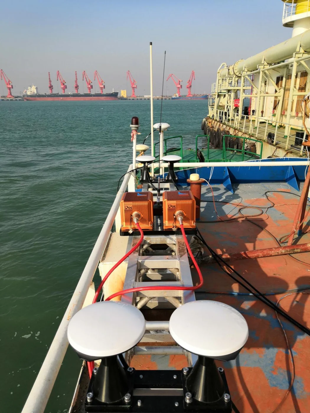
- Deck unit, IMU and dual GNSS antennas
- Model selection around your performance conditions
- Integration review for your equipment and software
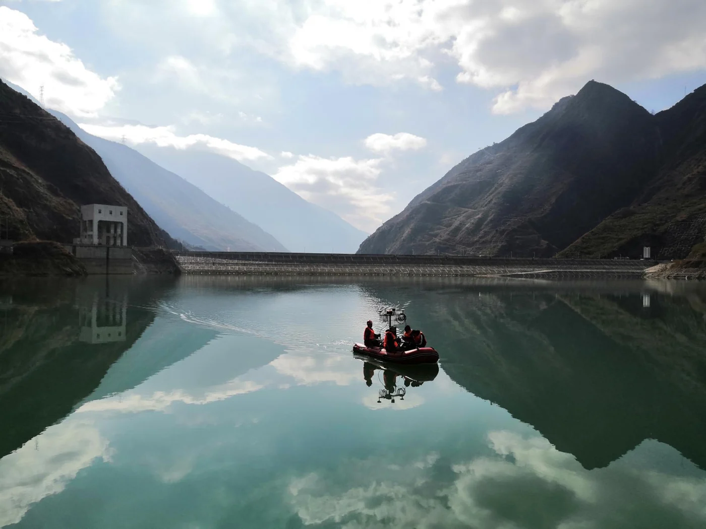
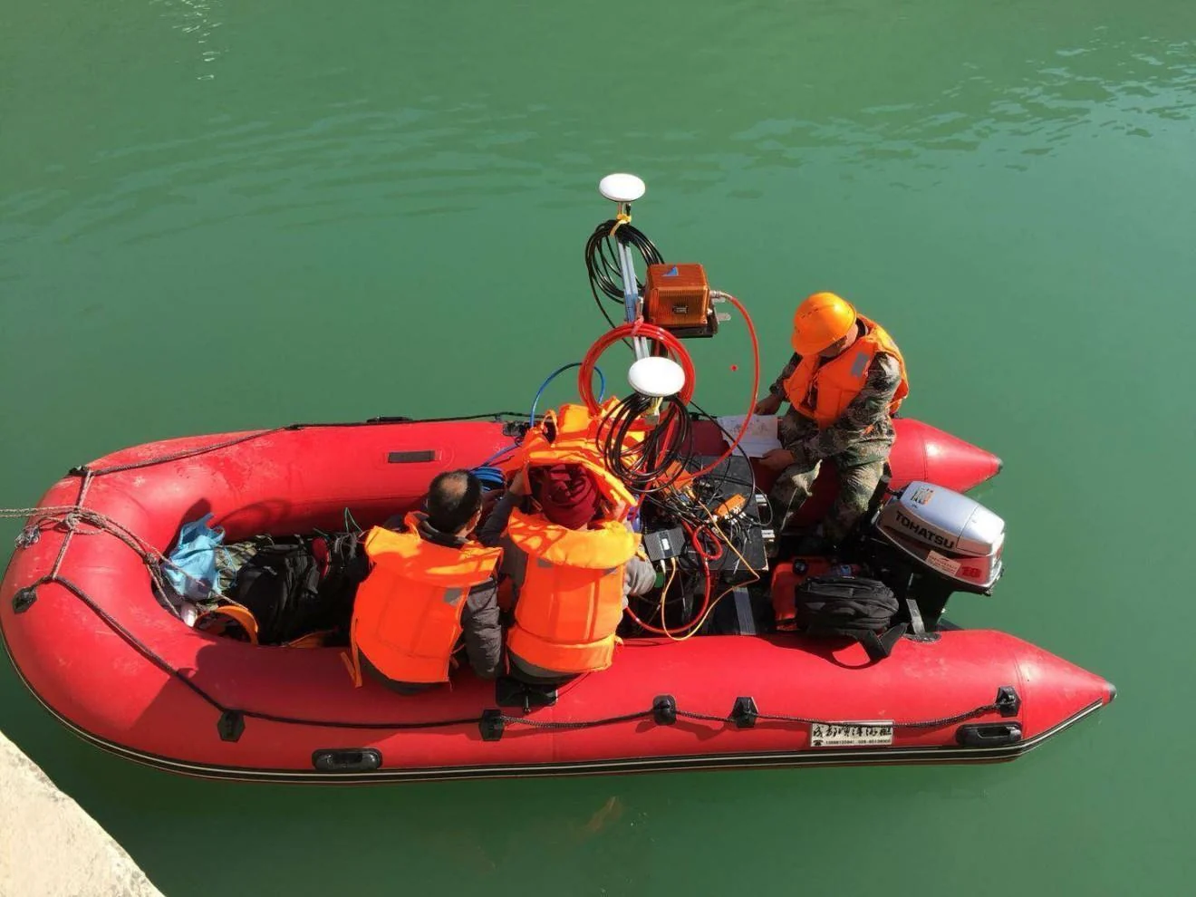
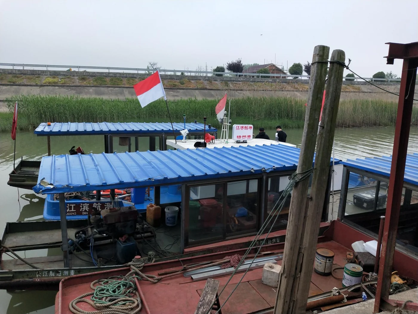
IN THE FIELD / HYDROGRAPHIC SURVEYING
From inland waters
to coastal surveys.
Navigation is one part of a larger measurement system. We help you consider how it connects to the rest.
Explore the applicationFIELD PHOTOGRAPH / RESERVOIR SURVEYFROM REQUIREMENT TO INTEGRATION
Engineering starts with a conversation.
Define the requirement
Your platform, equipment, outputs and operating conditions.
Select or adapt
Review a standard system or scope the engineering work.
Agree how to verify
Define configuration, validation and acceptance criteria.
Plan the delivery
Coordinate the system, integration support and training.
FIELD EXPERIENCE
Real environments. Practical perspective.
A selection of vessel installations and survey environments from our technical reference material.
BEHIND THE SYSTEM
Built on measurement.
Backed by engineering.
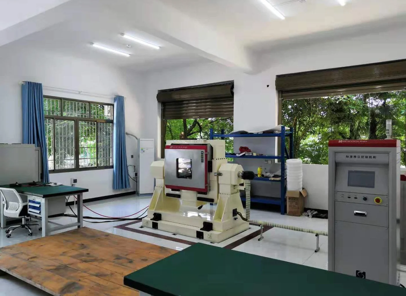
From inertial measurement to system integration, our work connects product development, calibration and application requirements.
Get to know RAYSEN